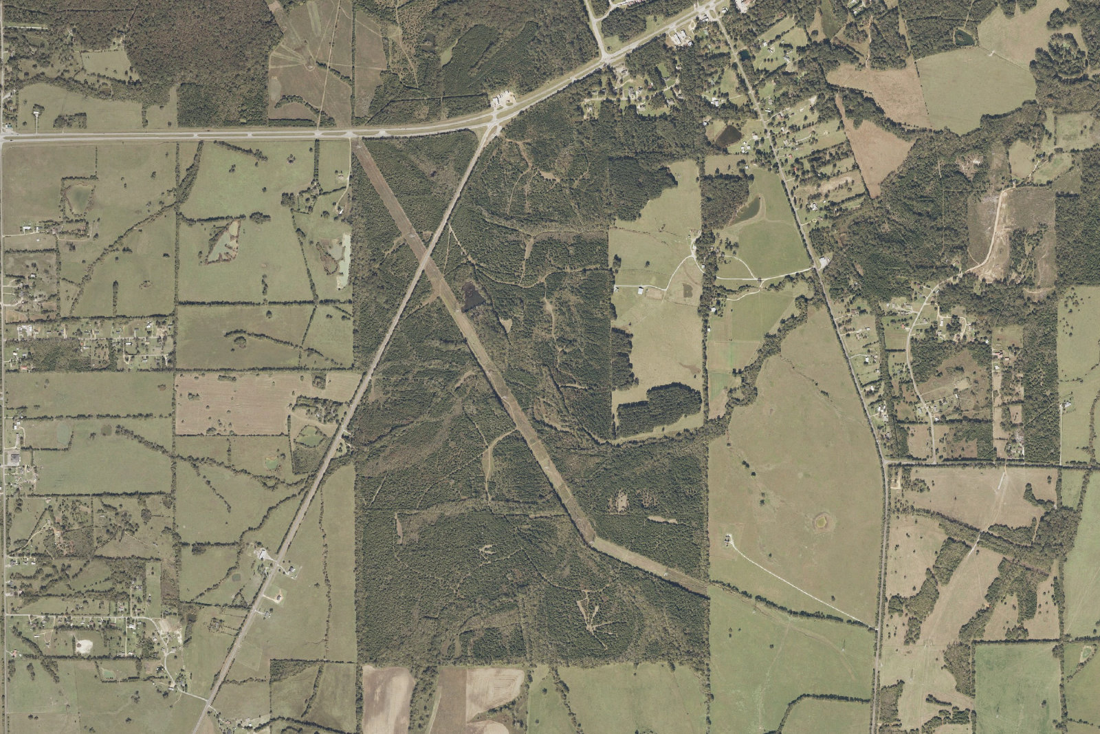
What conversion at this scale actually means.
The proposed parcel sits in a wooded corner of northeast Lowndes County, at the intersection of U.S. Highway 80 and Alabama Highway 21. Today it is contiguous timberland, bordered by farms and residences. The proposed change is from agricultural to heavy industrial — a designation that permits a 24-hours-a-day campus of cooling towers, generator yards, transformer stations, security lighting, and access roads.L1
Habitat fragmentation is not abstract.
A landmark 2015 study in Science Advances found that fragmented landscapes — those broken into smaller, isolated patches by roads, clearing, and industrial development — show on average roughly 12% fewer species than continuous landscapes of the same total area.L2 The effect compounds: as patches shrink, edge habitat increases, interior-dwelling species decline, predators and invasive plants penetrate further, and small populations lose genetic diversity.
The Wildlife Society and IFAW summarize the established science: habitat connectivity loss is the single largest driver of biodiversity threat in highly fragmented landscapes, accounting for up to 90% of total predicted threat in those regions.L3 A 1,000-acre industrial site dropped into a contiguous timber matrix is a textbook fragmentation event.
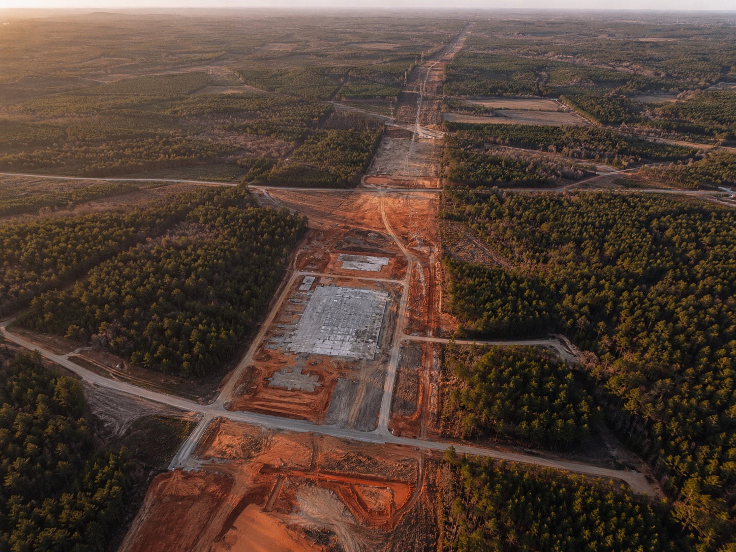
The night-sky and noise footprint extends past the fence.
Hyperscale data centers maintain 24-hour exterior security lighting and heat plumes that interfere with nocturnal wildlife navigation, breeding, and predation behavior. Continuous low- frequency mechanical noise interferes with bird song, bat echolocation, and ungulate alert behavior. None of this is in Cloverleaf's filing because the filing does not address it.
Stormwater and runoff.
Industrial development at this scale converts pervious forested land — which absorbs rainfall slowly and recharges aquifers — into impervious surface that sheds water rapidly. Increased runoff carries hydrocarbons from access roads, leaks from transformer stations, and any chemicals used in cooling-system treatment into the local watershed. The receiving streams in this part of Lowndes County feed into the Alabama River system.
The Black Belt is not interchangeable land.
The Alabama Black Belt is a narrow band of dark prairie soils running across central Alabama. It is one of the most ecologically and historically distinctive landscapes in the southeastern United States. It is also one of the regions most vulnerable to extractive development, because its political economy has long made it cheap to permit and difficult to organize against. Project Red Clay would convert 1,000+ acres of contiguous Black Belt forest to industrial use. That conversion is not reversible.
The question for the Commission.
- A formal environmental review covering habitat, hydrology, and air quality — not a developer-prepared narrative.
- A stormwater management plan that accounts for the impervious conversion of 1,000+ acres.
- A nighttime lighting specification that limits skyglow and horizontal spill across the property line.
- A binding habitat-mitigation requirement, on a like-for-like acreage basis, in Lowndes County.